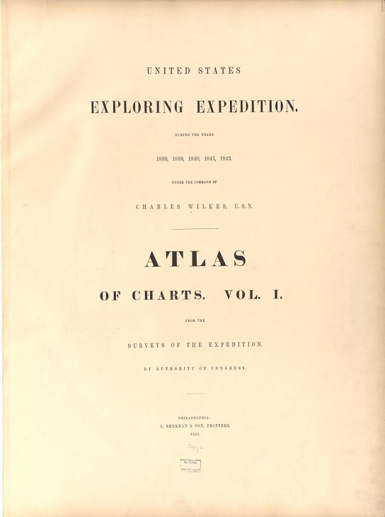
| | page |
| Chart of the World, showing the tracks of the vessels of the Exploring Expedition, | 1 |
| Chart of the Antarctic Continent., | 2 |
| General Sheets a the Pacific Ocean | |
| No. 1, Northeast Section, , | 3 |
| No. 2, Southeast Section, | 4 |
| No. 3, Southwest Section, | 5 |
| No. 4, Northwest Section, | 6 |
| Orange Harbor, Tierra del Fuego, | 7 |
| Sea-Gull Harbor, Gretton Bay, Wollaston Island, Tierra del Fuego, | 8 |
| Low Archipelago, or Paumotu Group (General Sheet), | 9 |
| Disappointment Group, Wytoohee and Otooho Islands; Clermont-de-Tonnerre and Serle Islands, | 10 |
| Henuake or Honden, Tiara or King's Islands; Two Groups, & Penrhyn's Island, | 11 |
| Kawahe or Vincennes, and Raraka Islands, | 12 |
| King George's Group, Tiokea, and Oura Islands, Aratica or Carlshoff Island, | 13 |
| Ahii or Peacock's, Manhii or Wilson's Islands, | 14 |
| Taweree, or St. Simeon, or Resolution Island, Metia Island, Takurea or Wolconsky Island, and Sea-Gull Islands," | 15 |
| St. Pablo, Nukutipipi, or Margaret Islands, Heretua, or Archangel, and Teku or Four Crowns Islands, | 16 |
| Nairsa or Dean's, Tikehau or Krusenstern's, and Mataiwa or Lazareff Islands, | 17 |
| Harbors of Tahiti; Papieti, Toanoa, Papaoa, and Matavai Bay, | 18 |
| Samoan or Navigator Islands (General Sheet), | 19 |
| Savaii Island, | 20 |
| Upolu Island, | 21 |
| Tutuila, Manua, Ofoo, and Oloosinga Islands, | 22 |
| Pago-Pago Harbor, | 23 |
| Oafonu. Fungasar, Aur Harbors, and Apolima Island, | 24 |
| Massefao, Fagaitua, Aluau Bays, and Anuu Island, | 25 |
| Fangaloa Bay, | 26 |
|
|
| | page |
| Apia, Falealili, Mataatu Harbors, and Roadstead between Laulii and Latonga, | 27 |
| Sanaapu and Falifa Harbors, | 28 |
| Uafato and Saluafata Harbors, | 29 |
| Chart of Viti Group or Feejee Islands (General Sheet), | 30 |
| Eastern Group, Feejee Islands. Sheet No. 1, | 31 |
| " " " " No. 2, | 32 |
| " " " " No. 3, | 33 |
| North Side of Vanua Levu, Feejee Island, from Aramula Passage to Muthuata Island, | 34 |
| "North Side of Vanua Levu, Feejee Islands, from Muthuata Island to Ivaca Peak," | 35 |
| Southwestern Side of Vanua Levu, Feejee Islands, | 36 |
| North Side of Viti Levu, Feejee Islands, | 37 |
| Western End a Viti Levu, Feejee Islands, | 38 |
| Asaua or Western Group, Feejee Islands, | 39 |
| Island of Ovolau and Harbor of Levuka, and Islands of Wakaia and Mokungai, | 40 |
| Islands of Moala, Totoia, and Matuku, | 41 |
| Islands of Kantavu and Goro, | 42 |
| Islands of Nairai and Angau, | 43 |
| M'bua or Sandalwood Bay, | 44 |
| Harbors of Muthuata, Tibethe, and Vicuna, | 45 |
| Nacumurry Harbor, Wailea Bay, and Island of Yendua, | 46 |
| Rewa Roads, Island of M'Benga, and Harbors, | 47 |
| Whippy, Suva, Granby, and Ndronga Harbors, | 48 |
| Port Safety, Kombelau, Fawn, and Baino Harbors, | 49 |
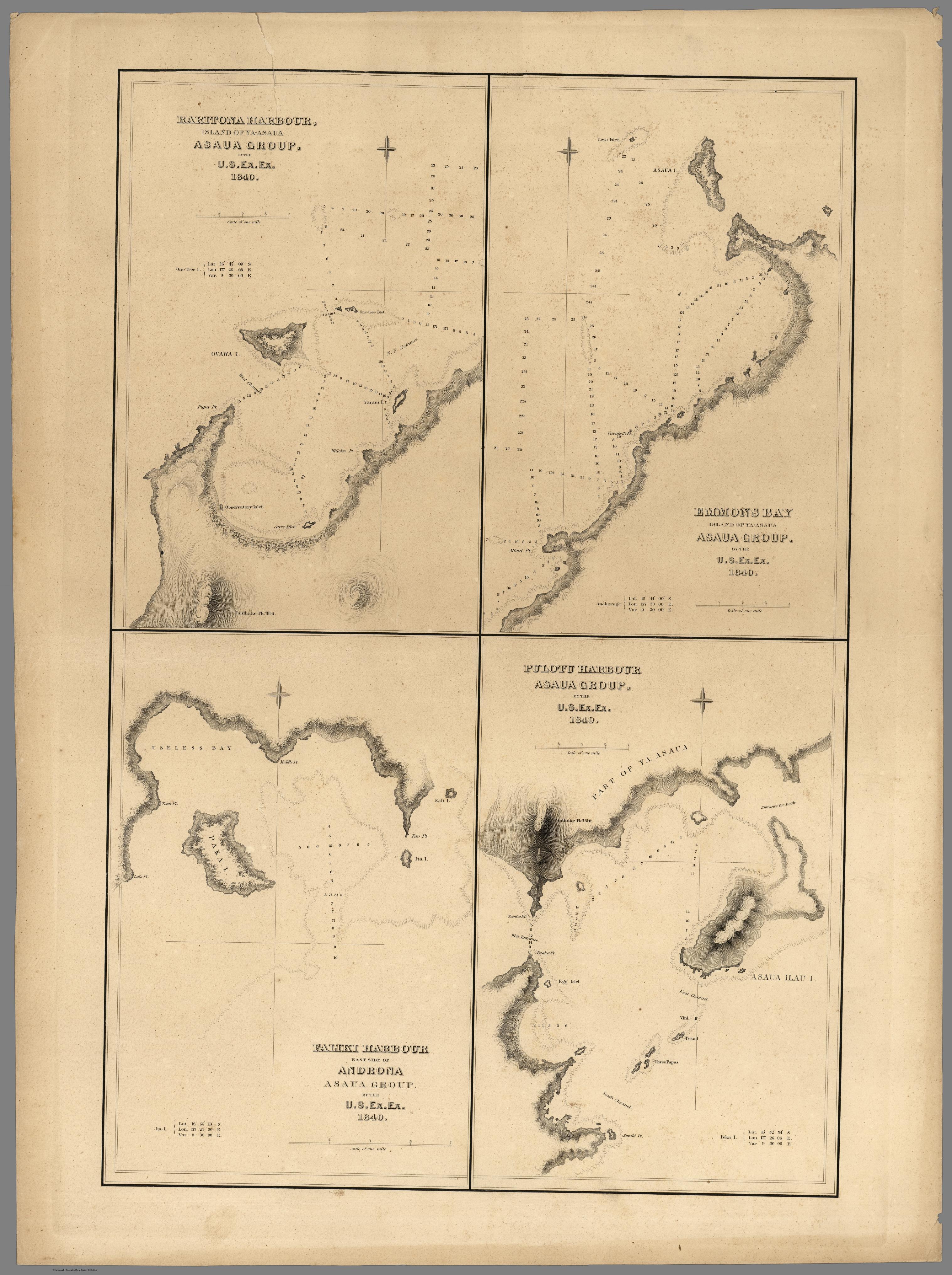
| Faliki, Raritona, and Pulotu Harbors, and Emmons Bay, | 50 |
| Tarawa or Kingsmill Group (General Sheet), | 51 |
| Taputeouea or Drummond's Island, and Peacock's Anchorage, | 52 |
| Nanouti, Bishop or Sydenham's Island, Makin or Pitt's Island, | 53 |
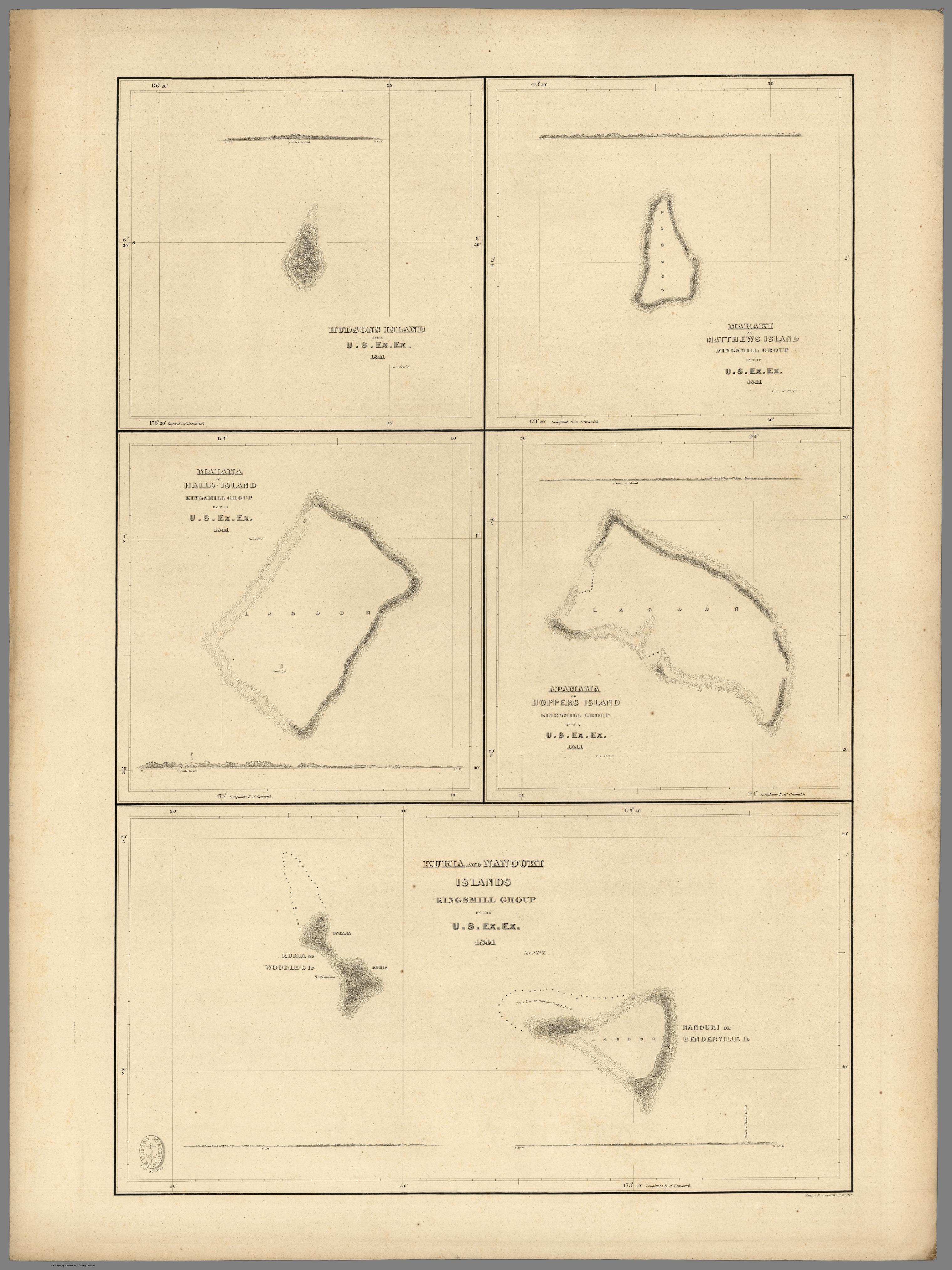
| Kuria or Woodle, Nanouki or Henderville, Maiana or Hall's, Apamama or Hopper's, Maraki or Matthew's, and Hudson's Islands, | 54 |
| Apia or Charlotte, Tarawa or Knox Islands, | 55 |
|


